Construction monitoring & visual data specialists
Northern Sky Surveys provides fast, accurate, and cost-effective drone surveying services tailored for construction, development, land management projects and independent roof surveys across
Manchester and the North West
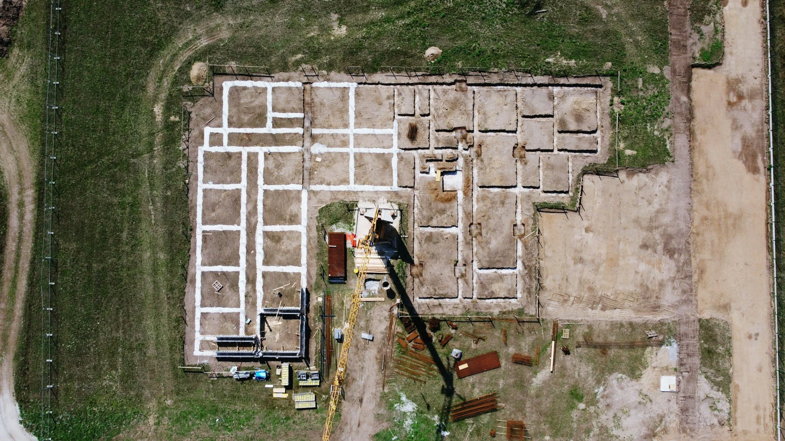
We specialise in high-resolution orthophoto mapping, site inspection imagery and progress monitoring
Our surveys help project managers, contractors, and consultants make informed decisions, reduce risk, and maintain full visibility over their sites
Using professional drone platforms and industry-standard processing workflows, we deliver
Accurate, geo-referenced orthophoto maps
Clear visual records for inspections and progress tracking
Quality reports and professional survey reviews
Short fly-over videos for documentation and stakeholder updates
From small sites to multi-acre developments, we pride ourselves on rapid turnaround, with site visits, data capture, processing, and delivery typically completed within 24 hours once instructed
Northern Sky Surveys operates with a strong focus on safety, compliance and reliability ensuring all flights are conducted in line with UK aviation regulations
Our goal is simple. Provide clear aerial data that saves time, improves planning, and supports better project outcomes