
Explore a Real Drone Survey
Curious what you receive after a drone survey? Explore a real project below using our interactive viewer.
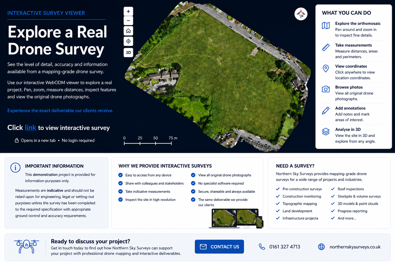
This interactive example allows you to experience the same type of deliverable our clients receive. Pan, zoom, inspect details, measure indicative distances and explore the site from your web browser—no specialist software required.
What you can do
✅ Explore a high-resolution Orthomosaic and 3D Model
✅ Zoom in to inspect site features
✅ Try the measurement tools
✅ View coordinates
✅ Browse the original drone photographs
✅ View annotations (where available)
✅ Experience the same interactive deliverable shared with our clients
Click the link below to open our live WebODM demonstration project.
https://cloud1.webodm.net/public/task/029dafd4-e710-4d91-8b3f-708a6c44c402/map/?t=orthophoto
Important Information
Measurements shown within this viewer are indicative and should not be relied upon for engineering, legal or setting-out purposes unless the survey has been completed to the required specification with appropriate ground control and accuracy requirements.